Follow the guide…for 5 hikes from the north to the south of the country
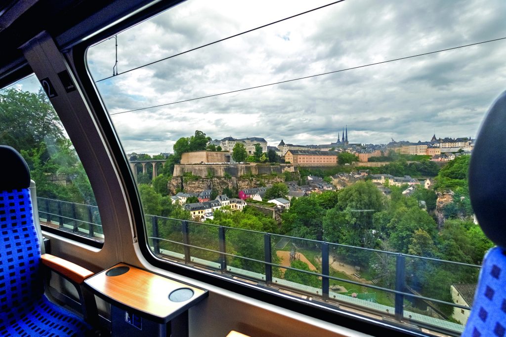
With no fewer than 43 routes from station to station and in every region of the country, the CFL “Hike & Rail” guide has something for everyone. From seasoned sportsmen and women to weekend walkers and those looking for a change of scenery and environmentally-friendly tourism, there’s a route to suit everyone. Here’s a selection.
In the authentic and historic Ardennes
To start with, head for the far north… of the country. Meet at Troisvierges station for route 1, which follows the course of the Wiltz on part of the cross-border “ESCAPARDENNE ÉISLEK TRAIL”. On this walk, you’ll see a number of monuments commemorating the Battle of the Bulge, which left its mark on this region during the Second World War.
- To sum up:
- Distance: 12.2 km
- Difference in altitude: +342m / -405m
- Stations: Troisvierges (Start) – Clervaux (Finish)
The full itinerary can be found here : CFL Itinerary 1 Troisvierges – Clervaux

Along the Alzette and its landscapes
The first good deal for itinerary 14 is that you can park your car at the new P+R in Mersch and benefit from 24 hours free of charge, as you meet the sine qua non condition: continue your journey using active mobility (or public transport) beyond 1.5 km from the car park. So off you go from Mersch – a veritable crossroads for national footpaths – to follow the meandering landscapes shaped by the Alzette, along the national footpath named after the river.
- To sum up:
- Distance: 13 km
- Difference in altitude: +377m / -356m
- Stations: Mersch (Departure) – Lorentzweiler (Arrival)
- Good to know: the walk can end in Lintgen after 8.5 km (follow the signs (CFL 14a to the station).
The full route description can be found here: CFL Route 14 Mersch – Lorentzweiler
Make the most of the capital for an after-work break
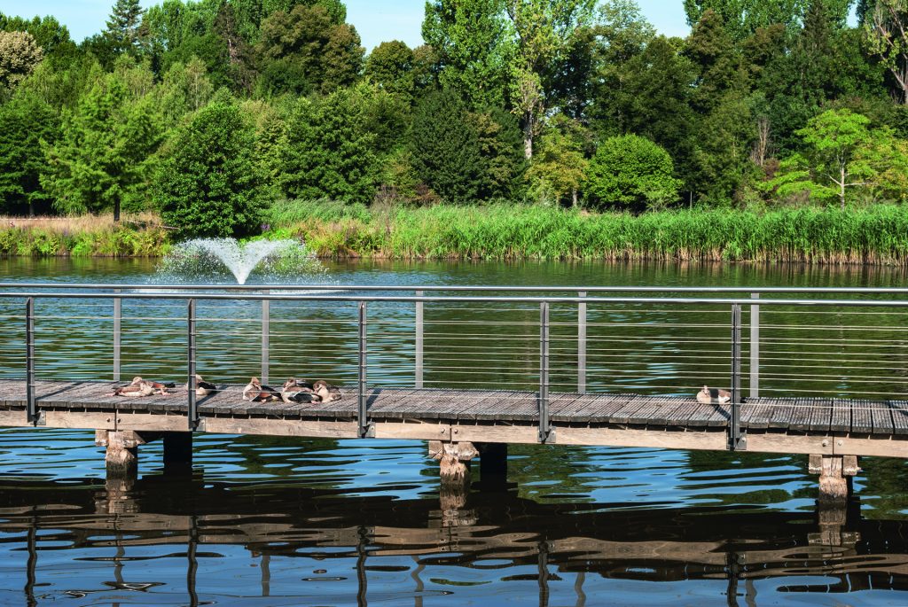
Some itineraries take the form of an excursion. Others take a welcome breath at the end of the day or during the lunch break. Route 19 falls into the second category. Short and accessible, it offers a different perspective of the capital’s districts by essentially following the banks of the Alzette. There is a short climb up the Pétrusse, but you can get round this by taking the Grund lift and returning to the route after crossing the Passerelle (also known as the Viaduct or Al Bréck).
- To sum up:
- Distance: 4.8 km
- Difference in altitude: +90m / -45m
- Stations: Dommeldange (Departure) – Luxembourg (Arrival)
- Good to know: the route is suitable for pushchairs, bicycles and other non-motorised two-wheelers.
The full itinerary can be found here : CFL Route 19 Dommeldange – Luxembourg
The reconversion of Minett, from another point of view
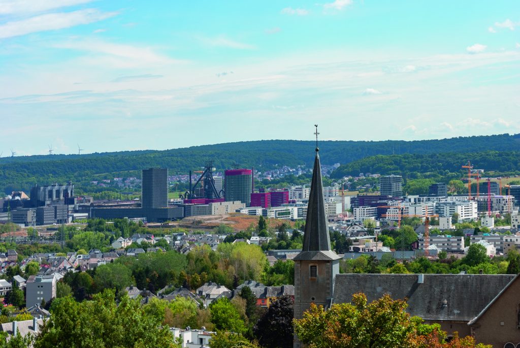
It’s hard to travel through this region without thinking of its rich steelmaking past, shaped by the hard work of the miners and the factories of the past that gave the country a major economic boost. This heritage, the redevelopment of Minett and the boom in the university campus can be felt along route 26, which offers views over the former industrial site of Esch-Belval and provides a link to Belval-Université station.
- In a nutshell:
- Distance: 9 km
- Difference in altitude: +146m / – 92m
- Stations: Esch-sur-Alzette (Start) – Belvaux-Soleuvre (Finish)
- Good to know: The walk can be extended by taking CFL 24, Belvaux-Soleuvre – Belval-Université (4.2 km) or CFL 27, Belvaux-Soleuvre – Oberkorn (4.9 km).
The full route description can be found here : CFL Route 26 Esch/Alzette – Belvaux-Soleuvre
In the Moselle, with a panoramic view as bonus
How could we not suggest one of the routes that passes through the beautiful Moselle region? The route numbered 40 starts with the observation tower at the top of the Haard, offering a 360° view of the surrounding area. Between lush green landscapes and a view of one of the world’s economic champions based in Luxembourg: SES, the company specialising in satellite links. This route also offers you a condensed view of man-made agricultural landscapes, including a wide variety of hedgerows.
- In a nutshell:
- Distance: 6.2 km
- Difference in altitude: +68 m / – 79 m
- Stations: Roodt-Syre (Start) – Betzdorf (Finish)
- Good to know: This walk is a pleasant extension of the CFL 42, Betzdorf – Manternach (8 km).
The full route description can be found here : CFL Trail 40 Roodt-Syre – Betzdorf

Would you like to discover other routes and the beautiful regions of Luxembourg?
The “Hike & Rail” guide is available for 37 euros at CFL Luxembourg and Belval-Université sales centres, in many bookshops and newsagents (Librairies Ernster, K KIOSK, Cactus, etc.) and online.
Published by CFL, “Hike & Rail” is designed by Éditions Guy Binsfeld, in collaboration with the Ministry of Economic Affairs, Directorate-General for Tourism.
